->

23 August 2010

Spatial Data Viewer on Bing Maps App

Spatial Data Viewer on Bing Maps App

View
  • ESRI Shapefiles (.shp & .dbf files) [best under 300k]
  • GeoRSS Feeds (.xml with lat & lng)
  • Well Know Text (WKT)
Known as Ricky's Data Viewer
Bing Maps Shapefile Viewer
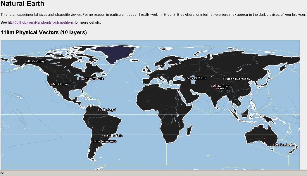
Loaded Shapefile (World Countries) in the Data Viewer using 'select shapefile' option, .dbf if your want to see attributes (table data).

Bing Maps Viewing GeoRSS Feeds
GeoRSS (.xml) recent earthquakes feed from (USGS)

Full list of Bing Maps Apps.

Labels: , , , , ,

23 July 2010

ESRI Shapefile - HTML5 Viewer


ESRI Shapefile - HTML5 Viewer

This is a neat way to display ESRI Shapefiles online without using any GIS software.
(Note: Not compatible with Internet Explorer)
Shapefile HTML Viewer loaded
Two shapefiles are displayed here cities of the world and associated text along with Countries of the World with a line style and  polygon fill style.

Notes: Keep shapefiles as small as possible, smaller shapefiles returns faster display results.
Faster than ArcIMS in some cases. But depends on the hosting server.


Shapefile HTML Viewer Mapperz
Mapperz Version, styles and fills changed, though seems slower, compare the difference.

The two files required are the .shp (geometry in lat/lng WGS84) and the .dbf (Table)
var map = new Map('map', [
    // country shapes
    new Layer('http://mapperz.110mb.com/shape/110m_admin_0_countries', 
{ fillStyle: '#76e97c', strokeStyle: '#18841D', lineWidth: '0.5' }),
    // dots for cities
    new Layer('http://mapperz.110mb.com/shape/110m_populated_places',
 { fillStyle: '#8A2BE2', /*textHalo: '3', textStroke: 'white',*/ textFill: 'rgba(255, 0, 0, 0.6)', 
textProp: 'Name', font: 'bold 9px sans-serif' })

  ]);
  Links [source code:]

More complex version involves 10 shapefile layers.

Labels: , , , ,

05 December 2009

Ordnance Survey Ireland Map 'Shop' Viewer

Ordnance Survey Ireland Map 'Shop' Viewer

Ordnance Survey Ireland Map Viewer
Map Viewer, shop by map, digitised/scanned maps all in one location

Between 1829 and 1842 Ordnance Survey Ireland (OSI) completed the first ever large-scale survey of an entire country. Acclaimed for their accuracy, these maps are regarded by cartographers as amongst the finest ever produced.

As the national mapping archive service for Ireland, OSi has captured this and later mapping data in a digitised format. Through this website you can view and download this data or place an order for delivery by post.

The new archive currently comprises the following series of maps:

  • 6 inch mapping series (1:10,560) colour 1837-1842
  • 6 inch mapping series (1:10,560) greyscale 1837-1842
  • 25 inch mapping series (1:2,500) greyscale 1888-1913
  • The above historic maps, originally surveyed on a county basis, now make up Ordnance Survey Ireland's digital image archive. Every image in the archive has been captured from an original print and each digital map image is now a seamless map title within the archive.

    With an easy-to-use browser you can search by county or townland. You can also pan across the entire archive and zoom in to view sections in greater detail. All A4 size historic products purchased from the online shop are delivered via PDF electronic download only. For larger A0 size historic products, we deliver by post only.

    *Certain mountain and moorland areas were mapped to a 6 inch scale only. These particular areas will appear as gaps when viewing the 25 inch map series online.

    source:

    http://www.mjhughes.co.uk/index.php/2009/12/04/os-ireland-mapping-portal/

    View the Shop by Map Viewer

    http://ims0.osiemaps.ie/website/publicviewer/main.aspx


    other OSI products that might interest you.
    Wind Map
    http://shop.osi.ie/Shop/Products/Default.aspx#wind

    Labels: , , , , , ,

    22 March 2009

    OpenStreetBrowser [View Maps & Metadata]

    OpenStreetBrowser [View Maps & Metadata]

    OpenStreetMap Browser - Metadata Viewer
    OpenStreetBrowser allows anyone to view the information behind the tiles of OpenStreetMap.

    Metadata - Information about data (including history)
    http://en.wikipedia.org/wiki/GIS_metadata

    Viewing Metadata - Oxford Street - London
    Viewing metadata of Oxford Street - the useful information within.

    "Openstreetmap (OSM) is growing and attracting more and more users contributing to the project (over 100,000 users now!). It's all about collecting and mapping geospatial data, which we submit to the database. But wait, to be honest: Without visualizing the data - without maps - openstreetmap is not much fun. For most new users the Slippy Map is the first map to see from openstreetmap. I believe, that many of us were motivated to become contributors because of this slippy map, because of the moments we wait our recently submitted information to pop up on Mapnik or Osmarender tiles. Although I love our slippy map, it just visualizes a tiny bit of information which is now available from our openstreetmap-database. So, when I first discovered the project Openstreetbrowser by users, I was thrilled: It's fun to use the Openstreetbrowser. The map looks great and I feel, that the authors made every effort and did a lot of thinking on details to create the Openstreetbrowser."
    source: http://osmbonnblog.blogspot.com/2009/03/browsing-openstreetmap-v20.html

    So now we have an Online Style Editor - CloudMade
    We have the Online Editor - OpenStreetmap
    Now we have the Online OpenStreetBrowser.
    Can these merge to be come a 'one-stop' location for users?


    **Note Data outside Europe is not currently available in OpenStreetBrowser - this may change in the future of this project.

    Previous Related Posts:
    http://mapperz.blogspot.com/2009/03/cloudmade-map-editor.html
    http://mapperz.blogspot.com/2008/09/open-street-map-in-shapefile-format.html

    Labels: , , , , ,