ESRI Shapefile - HTML5 Viewer
ESRI Shapefile - HTML5 Viewer
This is a neat way to display ESRI Shapefiles online without using any GIS software.
(Note: Not compatible with Internet Explorer)
(Note: Not compatible with Internet Explorer)

Two shapefiles are displayed here cities of the world and associated text along with Countries of the World with a line style and polygon fill style.
Notes: Keep shapefiles as small as possible, smaller shapefiles returns faster display results.
Faster than ArcIMS in some cases. But depends on the hosting server.

The two files required are the .shp (geometry in lat/lng WGS84) and the .dbf (Table)
var map = new Map('map', [
    // country shapes
    new Layer('http://mapperz.110mb.com/shape/110m_admin_0_countries',
{ fillStyle: '#76e97c', strokeStyle: '#18841D', lineWidth: '0.5' }),
// dots for cities
new Layer('http://mapperz.110mb.com/shape/110m_populated_places', { fillStyle: '#8A2BE2', /*textHalo: '3', textStroke: 'white',*/ textFill: 'rgba(255, 0, 0, 0.6)', textProp: 'Name', font: 'bold 9px sans-serif' })
]); Links [source code:]
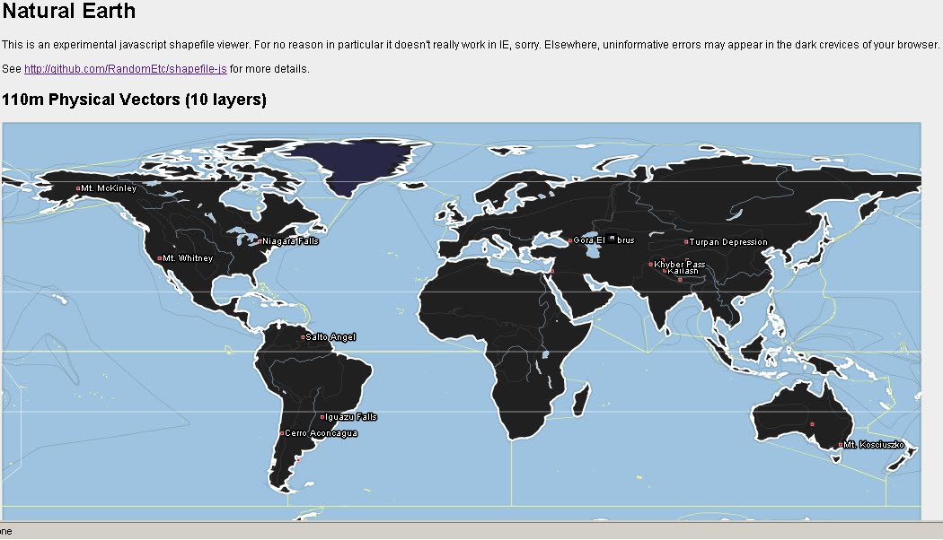
More complex version involves 10 shapefile layers.
Labels: ESRI, HTML5, Javascript, Shapefiles, Viewer
posted by Mapperz @ 4:07 pm
0 comments
![]()
![]()


0 Comments:
Post a Comment
<< Home