'Ordnance Survey Free' 23rd December 2009The document that everyone has been waiting for ;
"Policy options for geographic information from Ordnance Survey Consultation"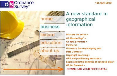
Will the Ordnance Survey Website have a direct link to your free data in April 2010?
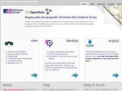
Ordnance Survey Free products from 1 April 2010 is shown below. It includes digital reference
products and digital display products:
Raster Free Products:
Vector
- Code-Point - that's full grid refrenced postcode data
- Boundary-Line - a specialist 1:10 000 scale boundaries dataset
- Meridian 2 - transport network and topographic themes
- Strategi - 1:250 000 scale topographic database
The products that are released as part of Ordnance Survey Free will continue to be
maintained by Ordnance Survey to a high and consistent standard. The product set
may evolve over time.
Ordnance Survey Free is intended to allow communities to combine (or
“mash-up”)
government data about their community and environment from a number of sources
and illustrate their findings in a geographic context:
The raster products will enable developers to produce an application that overlays
their information on a map and to zoom-in from a national view with MiniScale
down to the street level with OS Street Viev, the gazetteer, boundary and postcode information
will enable widespread use.
These commonly used geographies and it will act as a link between other
government data sets which reference the same geography
the 1:50 000 Scale Gazetteer provides a definitive source of town and place.
names to search and locate a place of interest on the map
Code-Point provides the location of every postcode to enable accurate search and display of specific locations and it will link to other data with a postcode reference• Boundary-Line provides the outline and a unique reference to all the
administrative and electoral units of Great Britain.
• Meridian2 and Strategi are small scale vector products which provide the
geometry of features to allow customisation and combination with other data.
Meridian 2 includes a full named and attributed road network.
Issues - none is there?
Issues highlighted by Ordnance Survey:
The most immediate impact on Ordnance Survey as a result of the release of
Ordnance Survey Free products will be the reduction in revenues.
Three different types of existing and future revenue loss have been identified, and their potential impact on Ordnance Survey quantified.
These include: direct revenue impacts as a result of the loss of revenue from the products to be released for free; product substitution affecting Ordnance Survey’s remaining products, which will arise as customers switch to Ordnance Survey Free products; and increased competition impacts as competitors are able to derive their own products from the Ordnance
Survey Free products.
The estimated that the revenue loss to Ordnance Survey from a combination of
these three effects would be £19-24m p.a. Further growth was anticipated in these
products, which could now be foregone.
The provision of Ordnance Survey Free datasets and associated services has been
assessed on the basis of avoidable cash costs at £6-8m p.a. over the next five years,
including both the operating costs and on-going investments required for these
products. In addition there would be one-off development costs for data provision of
up to £1.1m.
source:
http://www.communities.gov.uk/documents/corporate/pdf/1415413.pdf [PDF]
[Section 7]
Labels: Consultation, Data, Free Our Data, Ordnance Survey Free, Raster, Vector