Open Flood Mapping - OSM Maps Update First
Open Flood Mapping - OSM Maps Update First
Yes the OpenStreetMap'ers have been on the ball and with on the ground surveys and have updated the Bridges (collapsed or to be demolished).
Now this sounds a cruel but in reality shows the raw power of 'crowdsourced' mapping.

OpenStreetMap Updates [source] have come online within days of the bridge collapse.
Yes there was a fatality more here
http://en.wikipedia.org/wiki/2009_Cumbria_and_southwest_Scotland_floods
Now all we require is Flood Mapping Areas from Environment Agency (EA) overlay [available in April 2010?] on the map to show potential flooding on Ordnance Survey (OS) Maps.
Then the analysis of Met Office data [available in raw format in April 2010?]
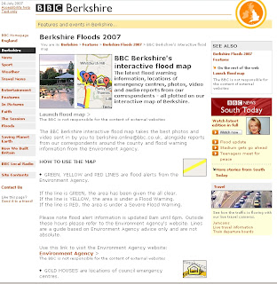
Then the OFS [Open Flood Map] can provide real-time flood alerts and help communities likely to be affected.
Required from Government sources
1 in 1000 year flood polygons (EA)
1 in 100 year flood polygons (EA)
1 in 50 year flood polygons (EA)
1 in 10 year flood polygons (EA)
1:10,000 vector/raster mapping (OS)
Raw live-feeds MetOffice (geo-xml/json please)
[available April from 2010?]
Now that's a potentially risk-saving mashup of data.
Background on Bridges and Travel Distruption

Fully closed and Collasped bridges.
latest travel news
http://www.bbc.co.uk/cumbria/travel/roads.shtml
Flood Recovery Appeal
http://www.cumbriafoundation.org/
Note - Ireland has also had huge problems with flooding over the past week.
http://www.breakingnews.ie/ireland/emergency-flood-fund-to-little-says-opposition-435667.html
And more rain forecast doesn't look good.
Labels: Crowdsourcing, Data, first, Flood, Government, Mapping, OSM, Request, updated


