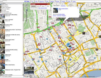
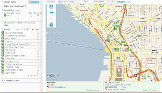
Map Channels Feed Maps
Map Channels Feed Maps New!

Multiple Feeds from MyMaps or Google Spreadsheets can be brought together on a single map.
How to do this...
To save the KML file, goto 'My Maps', right click on 'View In Google Earth' and copy the link location. Open a new browser tab and paste in the copied link. Edit the link and replace 'output=nl' with 'output=kml', then press 'enter' and save the KML file.
If you locally host your KML data you can use Google Site Maps to get your data included in Google Searches.
GeoRSS Format
My Maps have a GeoRSS option which Feed Maps can use (using the Google AJAX Feeds API). GeoRSS has the advantage that the data is read from the current copy of the My Maps data. Feed caching is used, so changes can take up to an hour to be included in the GeoRSS file.
Advantages and Disadvantages...
The drawback of using GeoRSS is that the style information for markers, line and polygons is not included. You can get around this problem by creating a separate My Map for each place type. Within your Feed Map code load each My Maps as a separate GeoRSS feed and set a different marker style for each feed.
Google Spreadsheet Format
Data from Google Spreadsheets can be used in Feed Maps. The spreadsheet must be published to be used. The first (header) row of the spreadsheet is skipped.
JSON Slow - Tab-delimited Fast
Unlike My Maps, Google Spreadsheets supports JSON format which lets you load in updated spreadsheet data. However the JSON format used does contain a large amount of unnecessary data and as a result map data may not load as quickly as other formats.
Tab-Delimited Text Format
Tab-delimited text files are probably the most efficient feed format. Fields are separated by single tab characters and rows are separated by carriage return (\r) and line feed (\n) characters. You can use a spreadsheet program to edit the file. The Header line is always skipped.
Recommend is the London Tutorial to see how it it done.
http://www.mapchannels.com/mcfm_tutorials/tutorial8.htm


