->

09 April 2009

AA Real Time Speed Map England, Scotland & Wales

AA Real Time Speed Map England, Scotland & Wales

AA Real Time Speed Map
Real-time** Speed Mapped on Major Roads and Motorways in England, Scotland and Wales

**10 minutes out approximately

Though when try to zoom out it becomes a little heavy for the Web Browser

The Automobile Association [AA] developers might want to invest a little time investigating Cluster Markers.

Server-Sided Cluster Markers
http://maps.forum.nu/server_side_clusterer/

Javascript Cluster Markers
http://econym.org.uk/gmap/clusterer.htm [monitors the map movements ]

http://googlemapsapi.martinpearman.co.uk/readarticle.php?article_id=1

See the Real-Time Speed Map
http://www.theaa.com/traffic-news/index.jsp

Related Previous Posts
http://mapperz.blogspot.com/2008/11/new-aa-route-planner-beta.html

Labels: , , , ,

21 November 2008

New AA Route Planner Beta

New AA Route Planner Beta

The AA Route Planner is under going an update - here is the first blog mention of it.

AA Route Planner Beta Map AA Overview
Google Maps based, but AA have their own Custom Maps in the Info Windows (click the sidebar and an info window at the location is displayed)

AA Route Planner Beta Map
European Directions includes channel crossings, Ireland is also covered.


The switch from old the ArcIMS to Google Maps API but preserving the additional functionalities of the old routing [sidebar in graphic form - the road sign structure]. It is still under beta and things might change and improve, Points of Interest (POI's) along the route might be useful.

AA Route Planner Beta Map UK
The Sidebar is interactive and is displayed as the driver would recognise the signage [Primary Route Green, Motorway Blue etc.]

Try it out
http://www.theaa.com/route-planner/index.jsp

Old Version is still available
http://www.theaa.com/travelwatch/planner_main.jsp?database=B

Mapperz

Labels: , , , , , ,

14 November 2006

AA Travel Planner Updated

The AA Travel Planner has been updated. Points of Interest (POI) have been now included into the Travel Planner and the Street by Street Map Finder

New Features are:
Speed Cameras or Safety Cameras to be PC (Static Only) Plotted on your route.
Petrol Stations (though not all)
Traffic Blackspots
AA Travel Planner- Speed Cameras

Map Finder uses the AA Street by Street products in digital format
but with the added features
  • Postcode
  • Private Streets
  • Places of Interest
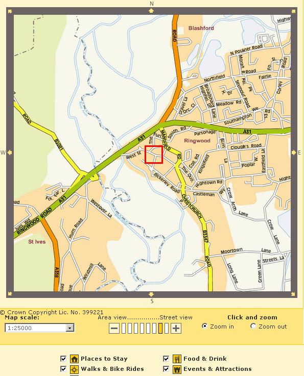
AA Travel Planner - Street By Street - MapVu DataAA Travel Planner - Street By Street - AA Data
Top MapVu speced to AA spec - Bottom AA Street by Street Digital

Labels: , , , ,

11 November 2006

Sat Nav loses to Road Atlas

Interesting to see the outcome of this test.

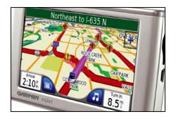
Garmin Sat Nav LosesAA Great Road Atlas 2007 Winner
Four users were to Navigate through London:

One was given an AA's Great Road Atlas 2007
Another used the satellite navigation system (a Garmin unit)
The third was supplied with a printed map using Microsoft Autoroute 2006
The four participant made use of the Government's free Transport Direct website.


Results were surprising.

1st in 1 hour and 35 minutes for the AA's Great Road Atlas 2007.
2nd 1 hour and 43 minutes for the Garmin Sat Nav.

3rd 1 hour 49 minutes for the printed Autoroute map.
4th 1 hour 56 minutes for the Transport Direct map.

Question
but why?

Answer
It is true technology guides and helps us all in performing tasks.

However it is the way the information is communicated to the user.
So in this case the Cartography wins this task by providing the user with clear instructions that can be applied in the real world.

Until 'Sat Nav' companies use cartographers to help them present the data and have cartographic editors to verify and double check the source data is correct the hardcopy map will win.


Look out for the New AA 1:100,000 (currently 1:200,000)
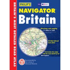
Road Atlas going to print soon, this goes head to head with the Philips Scale of Road Altas.

Philips Navigator Road Atlas

Labels: , , , , ,