OpenJump GIS
OpenJump GIS [Free Java based GIS]
update 21/04/2009
OpenJump 1.3 (more GIS analysis, faster, better)
http://www.openjump.org/wiki/show/New+OpenJUMP+Release
source: SlashGeo
There are more and more Open Source Projects coming along though which is the better of the bunch?
Not saying this is the 'best' though users are different to the developers.
OpenJump GIS is one of the better all round 'Free GIS' programs because:
- It supports common GIS formats (.shp, .tif, .gml etc).
- You can EDIT the data - lots are free but this one you can fully edit the data.
- You can do some GIS Analysis!

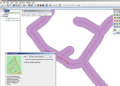
Buffering for Free, OpenJump does do plenty of spatial analysis.
Spatial Analysis built-in (no plugins required!)
- Intersect, Buffer, Union, Symmetrical Differences, Centroid
- Generalisation
- Polygonise (converts lines to polygons)
- Join attributes by spatial location
- Thiessen Polygon Creation
- Attribution Queries

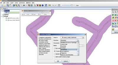
More Geometry Functions: Line Merge
More information on Open Jump
http://openjump.org/wiki/show/OpenJUMP
Future Suggestions? - More of the same, this is great for students and non-commercial, non profit organisations with limited budgets.
Maybe a Print View/Layout function if need to print
Support for (.osm and .gpx for OpenStreetMap) would be very helpful to many 'map makers'
OpenJump can also export to common formats (.gml, .wkt, .shp and postgis tables)
via SlashGeo
We mentioned other open source GIS software such as Quantum GIS, GRASS GIS, uDig and gvSIG amongst others.


0 Comments:
Post a Comment
<< Home