Sat Nav loses to Road Atlas
Interesting to see the outcome of this test.


Four users were to Navigate through London:
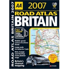
One was given an AA's Great Road Atlas 2007
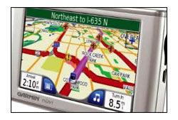
Another used the satellite navigation system (a Garmin unit)
The third was supplied with a printed map using Microsoft Autoroute 2006
The four participant made use of the Government's free Transport Direct website.
Results were surprising.
1st in 1 hour and 35 minutes for the AA's Great Road Atlas 2007.
2nd 1 hour and 43 minutes for the Garmin Sat Nav.
3rd 1 hour 49 minutes for the printed Autoroute map.
4th 1 hour 56 minutes for the Transport Direct map.
Question
but why?
Answer
It is true technology guides and helps us all in performing tasks.
However it is the way the information is communicated to the user.
So in this case the Cartography wins this task by providing the user with clear instructions that can be applied in the real world.
Until 'Sat Nav' companies use cartographers to help them present the data and have cartographic editors to verify and double check the source data is correct the hardcopy map will win.
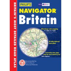
Look out for the New AA 1:100,000 (currently 1:200,000) Road Atlas going to print soon, this goes head to head with the Philips Scale of Road Altas.


1 Comments:
I hardly think with what the article says you could declare a winner. There needs to be more details on how the test was conducted.
Post a Comment
<< Home