Download Ordnance Survey Data
Download Ordnance Survey Data
updated (servers now active & running!)
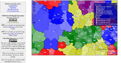
Pretty Postcodes
Code-Point Open

http://random.dev.openstreetmap.org/postcodes/?layers=000F0F0FBT
(development - may change at anytime)
Problems downloading on the OS OpenData site?
Alternative site: http://parlvid.mysociety.org:81/os/
Donate if you can (thanks)
now includes:
Code-Point Open
- NationalGrid ↔ WGS84: AGPL Perl code, GPL PHP code
- CSV headers: Postcode, Quality, PO box indicator, Delivery points stuff x 7, Easting, Northing, Country, NHS region, NHS health authority, County, District, Ward, Postcode.
- WGS84 edition – with latitude and longitude instead of National Grid, and empty columns removed (so CSV headers are: Postcode, Quality, Latitude, Longitude, Country, NHS region, NHS health authority, County, District, Ward).

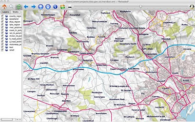
Fast implementation above Meridian2 rendered in OSM Mapnik
Another mashup using the OS 50k Gazetteer
A Tour of the OS 50k Gazetteer Linked Data
http://www.ldodds.com/blog/2010/04/a-tour-of-the-os-50k-gazetteer-linked-data/
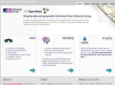
http://www.ordnancesurvey.co.uk/oswebsite/opendata/
or browse
http://data.gov.uk/data/publicbody/Ordnance%2520Survey
or browse
http://data.gov.uk/data/publicbody/Ordnance%2520Survey
Happy Downloading - Mapperz
Labels: Downloads, MapNik, Mapperz, Ordnance Survey Free, OSM


1 Comments:
from uk-government-data-developers@googlegroups.com thread on same:
“… Shame the line on derived data is still a little blurry, so local authorities can’t release geographical data for free reuse yet, …”
and for postcodes it’s CodePoint:
“It’s a centre point for every postcode I believe. No polygons.”
Post a Comment
<< Home