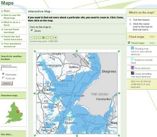
Flood Map

Flood Map for England and Wales from the Environment Agency
Shows potential flooding of land and property using an interactive Map.
Source:
Environment Agency
Mapperz - The Map & GIS News finding blog. With so many Mapping sites online. This blog tries to provide you with the best maps and services that are currently available online. @mapperz

0 Comments:
Post a Comment
<< Home