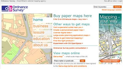
@Nomads_land got Ordnance Survey Maps!
@Nomads_land got Ordnance Survey Maps!
What's the story here?
Ordnance Survey have helped the request for Ordnance Survey maps for a long walk (7,000 miles) around the United Kingdom for 3 UK Charities by Nathaniel Severs

http://www.ordnancesurvey.co.uk/oswebsite/
The Three Charities:
- Southampton General Hospitals Paediatric Physiotherapy department
- The Stroke Association
- The Mammal Society
requested: 10:33 AM Mar 16th via Twitter on the web
S: Right Twitter,Nat is after some maps for the Scottish leg of the walk. SO, has anyone got OS Maps of scotland they could donate?Please RT
@mapperz picked up this request after following the daily tweets from @Nomads_land on his walk around the UK coast.
Basically mapperz has a number of good contacts, those contact have even better contacts.
Enter @StevenFeldman to the request and things really start moving and thanks to him Ordnance Survey have given the maps away for the Scottish leg of the 7,000 mile journey. That's over 40 1:25,000 Explorer Maps and a geo success of social networking that can be achieved.
More info on the guy doing the work:
"My names is Nathaniel Severs, I am 24 years old and in 2010, I am walking the entire coastline of mainland Britain (7,000 miles) for three great charities."

Keep up to date on the Big Walk on http://natsevs.wordpress.com/
"I set out from Portsmouth on 10 January accompanied only by a large rucksack carrying my tent and kit. I camp most nights but am open to offers for accomodation! The entire journey will be completed using leg power and if there is a bridge, I will be crossing it (so Anglesey and the Isle of Skye will both be on the agenda). I will stay true to the coastline at all times, so if there is a ferry across a river (the River Dart, for example) that is not classed as coastline, then I will allow myself to take a ferry if one is available. But a ferry cannot be used at any other time. I aim to be home by Christmas!"
The journey so far

Natathan is currently along Pembrokeshire Coast Path [Fishguard] (a very nice walk rain or sun)
Follow his progress here http://natsevs.wordpress.com/progress/
Many thanks to:
@Nomads_land for taking up the challenge to walk around the entire UK coast
http://natsevs.wordpress.com/
Steven Feldman (@StevenFeldman)
http://giscussions.blogspot.com/
Ordnance Survey for being so quick to respond and making the solution to the request.
hopefully a post on http://magazine.ordnancesurvey.co.uk/magazine/tscontent/editorial/exploremagazine/ about this soon?
Social networking Site Twitter - http://twitter.com/ connecting us all up.
and myself Mapperz @mapperz for helping a good cause.
Labels: Big Walk, Maps, Nomads_land, Ordnance Survey, Route, Success, Twitter, UK


0 Comments:
Post a Comment
<< Home