Temporal Mapping in Google Earth (Beta 4)
One of the New Features in Google Earth (Beta 4 Build 4.0.2080) -clicking update inside Google Earth does not update to this version.
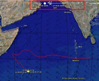
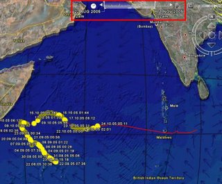
The temporal aspect of data and time is now represented in a easy way to understand.

August 2005

November 2005
The image represent Whale Shark migration between August and November (2005)
The kml file is available from google services
Other updates include:
A new interface for viewing time-stamped/time-range image overlays
Improved printing option for turn-by-turn driving directions with satellite imagery
New KML folders options with radio button style placemarks (under my places)
Support for Web Mapping Service(WMS) image/data overlays (now in free version too)
Universal Transverse Mercator (UTM) coordinate system grid overlay


0 Comments:
Post a Comment
<< Home