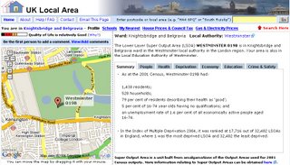
UK Local Area Map (Postcode Map)

Very informative Map that finds information on your local area.
Information includes:
- Neighbourhood Profile (People, Health, Deprivation, Economy, Education, Crime)
- Average House Prices for the last 6 months
- Council Tax for all bands
- Gas & Electricity Utility Prices
- Nearest Public Transport & Find nearest business
- School Results (Primary Key Stage 4, GCSE, A/AS Levels)


0 Comments:
Post a Comment
<< Home